Silurian
Brassfield Limestone/Formation
Age: Early Silurian Period
Distribution: Central northern Arkansas, Ozark Plateaus; central Kentucky, southern Indiana, southwestern Ohio, and southern Tennessee
Geology: This unit is a light-gray to deep-red, fossiliferous limestone with traces of glauconite in its lower beds. The Brassfield Formation's limestones range from poorly washed and sorted biosparites (dominant), to biomicrite and mud-free biosparite. Out of context, the Brassfield lithologies can be indistinguishable from the Fernvale and St. Clair limestones. (The Brassfield Formation is considered a member of the Cason Shale by some modern workers.) The chief constituent of Brassfield Formation limestones is fragmented crinozoans, but bryozoa, brachiopods, gastropods, trilobites, and other common Paleozoic fossil groups have been noted. The unit is disconformable on the underlying strata. The distribution of the formation in Arkansas is somewhat limited. Its thickness ranges from 0 to 38 feet.
Original references: A. F. Foerste, 1905, Kentucky Geol. Survey Bull. 6, p. 156; 1906, Kentucky Geol. Survey Bull. 7, p. 10, 27.
Type locality: Named for exposures along Louisville and Atlantic Railroad between Brassfield and Panola, Madison County, Kentucky
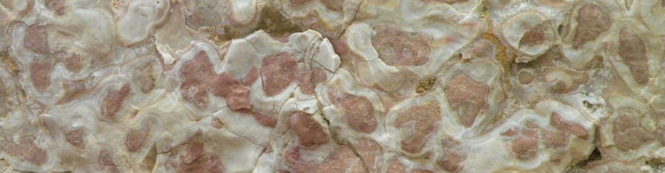
St. Clair Limestone/Formation
Age: Early/Middle Silurian Period
Distribution: Northern Arkansas, Ozark Plateaus; southern Illinois, and central eastern Oklahoma
Geology: The St. Clair Limestone is coarse-grained, highly fossiliferous, generally light-gray to pinkish-gray limestone. The lower few feet of the unit are usually pyritic and contain spherical algal "buttons" similar to the flattened oncolites of the Cason Shale. The upper and lower portions of the sequence are less well washed than the middle beds and therefore contain more mud matrix. Bedding is normally thick to massive. The formation contains well preserved whole shells of brachiopods, ostracods, and trilobite pygidia and cephala. Fragmentary remains of crinoids, corals, bryozoa, bivalves, gastropods, and cephalopods are also found. Exposures are somewhat limited to small areas in Independence, Izard, and Stone counties. The formation is unconformable at it base and may rest on the Brassfield, Cason, or Fernvale Formations. The St. Claire Limestone is thicker in the eastern part of its outcrop area. Overall its thickness ranges from 0 to 100 feet.
Original reference: R. A. F. Penrose, Jr., 1891, Arkansas Geol. Survey Ann. Rept. 1890, v. 1, p. 102-103, 112-114, 124-128, 166-174.
Type locality: Named for St. Clair Springs, 8 miles northeast of Batesville, Independence County, Arkansas
Lafferty Limestone/Formation
Age: Middle/Late Silurian Period
Distribution: Central northern Arkansas
Geology: The Lafferty Limestone is generally an earthy, gray-green to red micrite or sparsely fossiliferous biomicrite. Clay increases upward in the section so that the upper beds approach a calcareous claystone. Fossils are few in the Lafferty Formation, but agglutinated foraminifers are noted. The formation rests conformably on the St. Clair Limestone. This lower boundary is marked at the top of the last abundant coarse-grained, bioclastic, crinozoan limestone of the St. Clair Formation. The Lafferty Limestone has a maximum thickness of 97.5 feet in its type area, but it typically averages 5 to 20 feet and is of limited extent.
Original reference: H. D. Miser, 1920, U. S. Geol. Survey Bull. 715-G.
Type locality: Well exposed at Tate Spring, 1 1/4 miles north of Penters Bluff Station, Izard County, Arkansas. Named for West Lafferty Creek which is half a mile east of its exposure
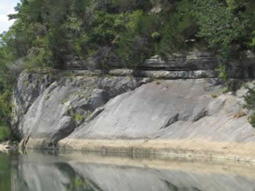
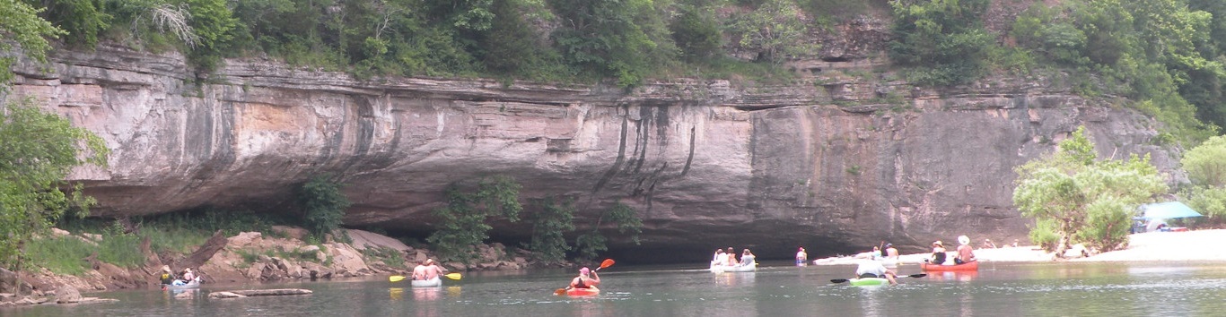
Shales in the Powell Formation near Yellville
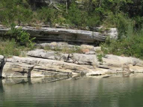
Powell Formation in Black Rock Arkansas
Shales in the Powell Formation near Yellville
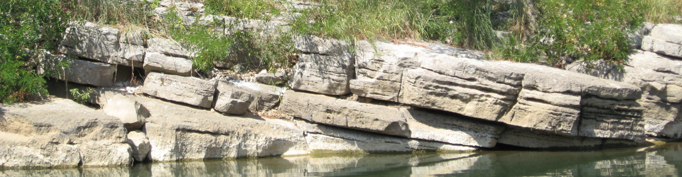
Cason Shale/Formation
Age:Late Ordovician Period, (and Early/Middle Silurian Period)
Distribution:Northern Arkansas, Ozark Plateaus
Geology: The Cason Shale consists of several rock types: phosphatic sandstone and shale, oolitic limestone, pelmatozoan limestone (Brassfield Limestone), and sandy, calcareous shale containing flattened algal "buttons" (oncolites). The sequence is usually blue-green to dark gray colored. (Some modern workers place the Brassfield Limestone as a member of the Cason Shale below the "button" shale and above the phosphatic sandstone and shale.) Phosphatic brachiopods are found in some beds and other fossil fragments are common. Agglutinated foraminifera and conodonts have been identified from acid residues. The formation is disconformable on the underlying beds and may contain at least two other unconformities. At no place is the entire Cason Formation's sequence preserved. The Cason Shale is not known to be much more than 23 feet thick in any one place and usually much thinner.
Original reference: H. S. Williams, 1894, Am. Jour. Sci., 3d, v. 48, p. 325-331.
Type locality: Named for Cason tract, near Batesville, Independence County, Arkansas
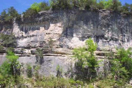
Basal Mississippian sandstone sitting on Cason Shale near Gilbert Arkansas.
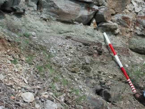
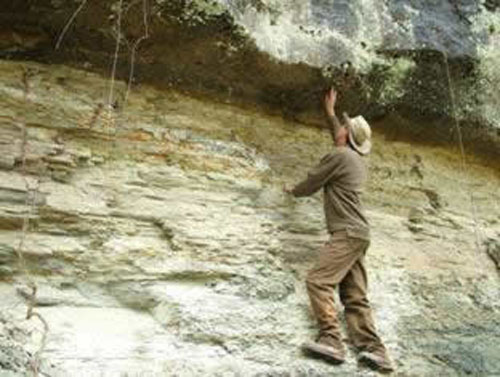
Cason Shale (at staff level) in Independence County.