Arkansas State Maps
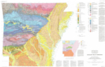
Geologic Map of Arkansas
Shows geological formations for the state with major fault lines.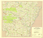
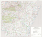
Base Map of Arkansas
Wall-size map that shows county boundaries, major cities and some highways and national forest boundaries.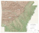
Shaded Relief Map of Arkansas
Wall-size map that shows county boundaries, major cities and some highways and national forest boundaries.