Mining Maps
Data for this web map has been obtained from the Arkansas Department of Environmental Quality (ADEQ), Arkansas Highway and Transportation Department (AHTD), selected publications of the Arkansas Geological Survey, United States Geological Survey (USGS), and the United States Bureau of Mines (USBM), together with mines and symbol data from the most current USGS 7.5-minute topographic quadrangle maps available. Petroleum and natural gas well locations are excluded.
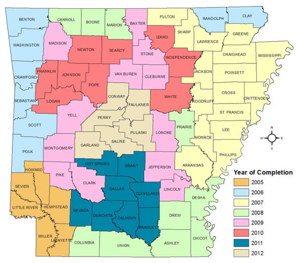
Currently, 75 out of 75 counties have been completed (see map).