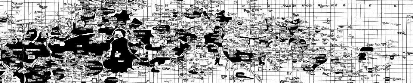
Arkansas Valley Well Location Map
| AGC/AGS Series | Fossil Fuel - Miscellaneous |
| Number Series | |
| Title | Arkansas Valley Well Location Map |
| Author (s) | J.L. McDonnell and others |
| Date | Revised April 1984 |
| Scale | 1/2" on map equals 1 mile on land |
| General Description |
Arkansas Valley Well Location Map extends from the Oklahoma line to the Mississippi Embayment and shows the locations and names of dry holes and the approximate extent of gas fields as of April, 1984.
|
| Availability | Yes. Paper copy or free download. |
| Price | Paper copy is $15.00 or download map for free. |
| Shipping and handling | Contact Sales Office at (501) 296-1877, for shipping and handling charges. |
| Online Version |
Download PDF |