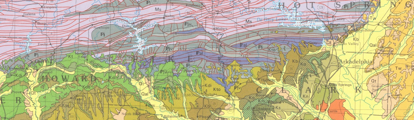
Geologic Map of the Arkansas Portion of the De Queen Quadrangle, Sevier, Polk, and Howard Counties, Arkansas
| AGC/AGS Series | Digital Geologic Maps |
| Number Series | DGM-OK-AR-01087 |
| Title | Geologic Map of the Arkansas Portion of the De Queen Quadrangle, Sevier, Polk, and Howard Counties, Arkansas |
| Author (s) | Geology by B.R. Haley, C.G. Stone, W.D. Hanson, and B.F. Clardy |
| Date | Geology 1994, compilation 2008 |
| Scale | 1:100,000 |
| General Description |
The Geologic Map of the Arkansas Portion of the De Queen Quadrangle is a compilation of sixteen 7.5 minute quadrangles. Quadrangles included Baker Springs, Board Camp, Bog Springs, Chapel Hill, Cove, De Queen, De Queen NW, Dierks, Dierks Dam, Eagle Mountain, Geneva, Gillham, Gillham Dam, Mena, Nichols Mountain, Potter, Vandervoort, Wickes, Umpire, and Zafra. The geology of the Cretaceous area was mapped by W.D. Hanson and B.F. Clardy in 1994, and the geology of the Paleozoic area was mapped by B.R. Haley and C.G. Stone, 1994.
|
| Availability | Yes. Paper copy or free download. |
| Price | Paper copy is $30.00 or download map for free. |
| Shipping and handling | Contact Sales Office at (501) 296-1877, for shipping and handling charges. |
| Online Version |
Download PDF |