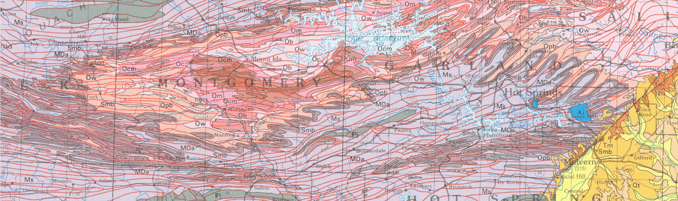
Geologic Map of the Ouachita Mountain Region and a portion of the Arkansas Valley Region in Arkansas
| AGC/AGS Series | Digital Geologic Maps |
| Number Series | DGM-OMR-001 |
| Title | Geologic Map of the Ouachita Mountain Region and a portion of the Arkansas Valley Region in Arkansas |
| Author (s) | Geology by B.R. Haley and C.G. Stone, editing by W.D. Hanson |
| Date | 2006 |
| Scale | 1:100,000 |
| General Description |
This map is a graphic summary of information about rock units in the State at the time of the map compilation. The scale of the map forces an exaggeration of the outcrop width of the thinner map units, therefore, rock units shown may be present in small outliers. The differences in tectonic features, lithologic boundaries, geographic extent of rock units, and strqatigraphic nomenclature between the Geologic Map of Arkansas (Arkansas Geological Commission, 1976) and this map are based on published and unpublished geologic reports prepared since 1929 and on detailed and reconnaissance mapping done in conjunction with the preparation of this map. This map is a compilation of 178, 1:24,000 scale geologic worksheets for the Ouachita Mountain and Arkansas Valley Regions (COGEO State Project Maps). The geologic information was then prepared onto ten 1:100,000 scale topographic maps.. Then those ten maps were combined into seamless layers by digitization. The geology mapping was done by B. R. Haley and C. G. Stone and compilation and editing of this map was by W. D. Hanson. This map is available as a print-on-demand product, CD-Rom, or as a free .pdf download. Because of the large file size of this map, 37.7 MB, the .pdf download may take a considerable amount of time.
|
| Availability | Yes. Paper copy or free download. |
| Price | Paper copy is $100.00 or download map for free. |
| Shipping and handling | Contact Sales Office at (501) 296-1877, for shipping and handling charges. |
| Online Version |
Download PDF |