Geology of the Crater of Diamonds State Park and Vicinity, Pike County, Arkansas
| AGC/AGS Series | Digital Geologic Maps |
| Number Series | DGM-SPS-003 |
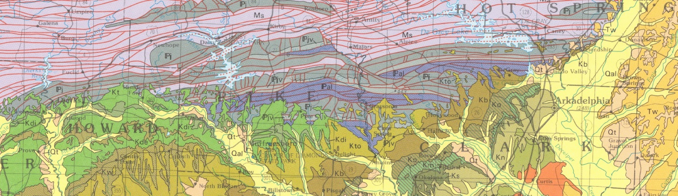
| Title | Geology of the Crater of Diamonds State Park and Vicinity, Pike County, Arkansas |
| Author (s) | Geology by W.D. Hanson, J.M. Howard and B.F. Clardy |
| Date | 2007 |
| Scale | 1:16,000 |
| General Description |
Product consists of a map (scale 1:16,000) of the Crater of Diamonds State Park and vicinity, along with digital imagery of the Park search area (scale 1:4,364), Prairie Creek diatreme bedrock geology map (scale 1:3,350), and schematic cross section of the Prairie Creek diatreme, all on a poster-size base (29" X 41"), suitable for framing. With this graphic product is included SPS-03, a booklet of the same title, authored by J. M. Howard and W. D. Hanson (2008), 8 colored figs., 14 p. Booklet contains a written summary of the geology, igneous rock type descriptions, and a discussion of the mineralogy of diamonds with an explanation of the cause of the typical shapes of diamonds from this location. Frequently asked questions by park visitors are also answered.
This booklet includes:
*Includes: 17 pages, 8 figures, 1 map |
| Availability | Yes. Paper copy or free download. |
| Price | Paper copy is $30.00 or download map for free. |
| Shipping and handling | Contact Sales Office at (501) 296-1877, for shipping and handling charges. |
| Online Version |
Download PDF |