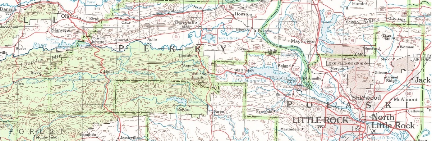
1:250,000 Scale Topographic Quadrangle Maps for Arkansas
| AGC/AGS Series | Arkansas 1 x 2 Degree Topographic Map Series |
| Number Series | |
| Title | 1:250,000 Scale Topographic Quadrangle Maps for Arkansas |
| Author (s) | U.S. Geological Survey |
| Date | Varies |
| Scale | 1:250,000 |
| General Description |
There are 16 maps at the 1:250,000 scale or (1 x 2 Degrees) that cover Arkansas.
|
| Availability | Yes. Paper copy or free download. |
| Price | Paper copy is $9.00 or download map for free. |
| Shipping and handling | Contact Sales Office at (501) 296-1877, for shipping and handling charges. |
| Online Version |
Download Index PDF |