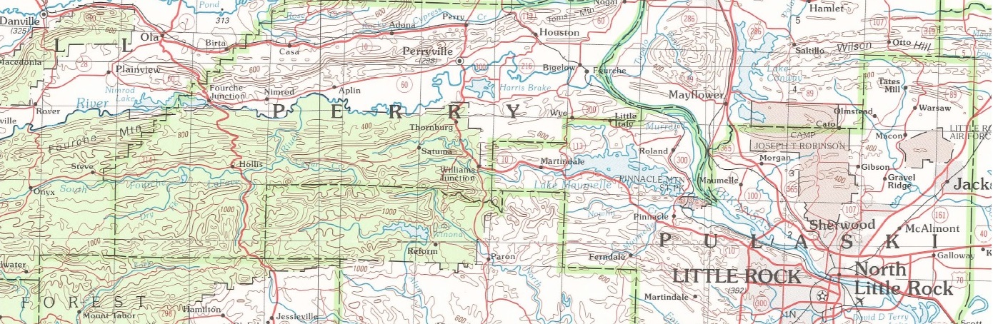
1:62,500 / 1:63,500 Scale Topographic Quadrangle Maps for Arkansas
| AGC/AGS Series | Arkansas Topographic Maps - 1:62,500/1:63,360 scale - 15' Series |
| Number Series | |
| Title | 1:62,500 / 1:63,500 Scale Topographic Quadrangle Maps for Arkansas |
| Author (s) | U.S. Geological Survey |
| Date | Varies |
| Scale | 1:62,500, 1:63:360 Scale [Also known as 15' map series |
| General Description |
There were approximately 85 individual 15' topographic maps that covered some portion of the State of Arkansas. Unfortunately, the U.S. Geological Survey discontinued this series several years ago and many of the maps may no longer be available.
|
| Availability | If available - paper copy at this time. |
| Price | Paper copy is $9.00 |
| Shipping and handling | Contact Sales Office at (501) 296-1877, for shipping and handling charges. |
| Online Version |
Maps not available on-line at this time. |