Compilation of Recent Earthquakes in the Fayetteville Shale Play of North-Central Arkansas
| AGC/AGS Series | Digital Geohazard Maps |
| Number Series | GH-EQ-USGS-CERI-EVENTS-001 |
| Title | Compilation of Recent Earthquakes in the Fayetteville Shale Play of North-Central Arkansas |
| Author (s) | S.M. Ausbrooks & D.H. Johnston |
| Date | 2012 |
| Scale | |
| General Description |
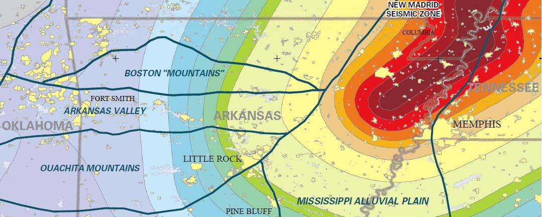
These maps illustrate the location and magnitude of reported earthquakes that have occurred in the Fayetteville Shale Play of north-central Arkansas from 2008 to present. The data source for the earthquakes depicted on these maps were derived from the Arkansas Geological Survey (AGS) earthquake catalog. This catalog has been compiled from various sources and publications and includes date, time, latitude, longitude, magnitude or intensity and depth information. Some event records may contain incomplete data due to their date and/or source. The AGS earthquake catalog is dynamic and continually updated as event parameters are modified, new events are added, and occasionally, events are deleted. The faults depicted on these maps are based on available fault data on file at the AGS and the Arkansas Oil and Gas Commission (AOGC). Faults provided by the AOGC were compiled from integration dockets prepared by companies operating in the Fayetteville Shale Play. The depicted faults and delineated seismic areas/zones are for illustration purposes only and may not represent all the seismically active features within a given location or indicate the exact origin of the earthquakes depicted on this map.
|
| Availability | Yes. Paper copy or free download. |
| Price | Paper copy is $40.00 or download map for free. |
| Shipping and handling | Contact Sales Office at (501) 296-1877, for shipping and handling charges. |
| Online Version |
Central PDF East PDF West PDF |